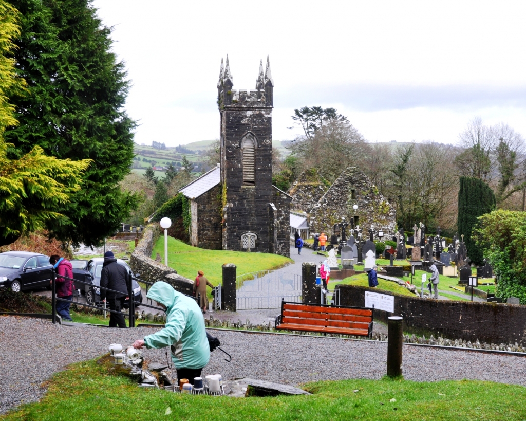
Lady’s Well, Cork: Slipping Away
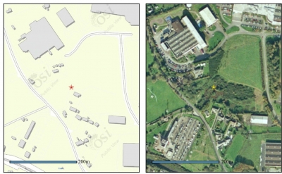
Lady’s Well is one of the few wells within Cork city. It is located north of the city centre, on the eastern slope of the small valley that leads out to Blackpool. It gave Lady’s Well Brewery, just below the well, its name, while what is now Leitrim Street was formerly called Lady’s Well Street.
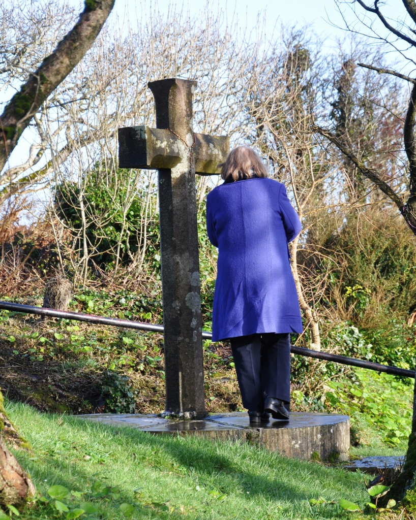
The well has had a varied modern history. There seems to have been no record of religious activity on the site and by the 1980s no surface trace of the well existed, although the shrine to the Blessed Virgin Mary was on the site, which was demolished in the later 1990s. A City Council sponsored excavation in 2000 revealed a cast-iron basin surrounding by sandstone flags as being the likely earliest flooring at the well. At that time, the well and grotto were consolidated.
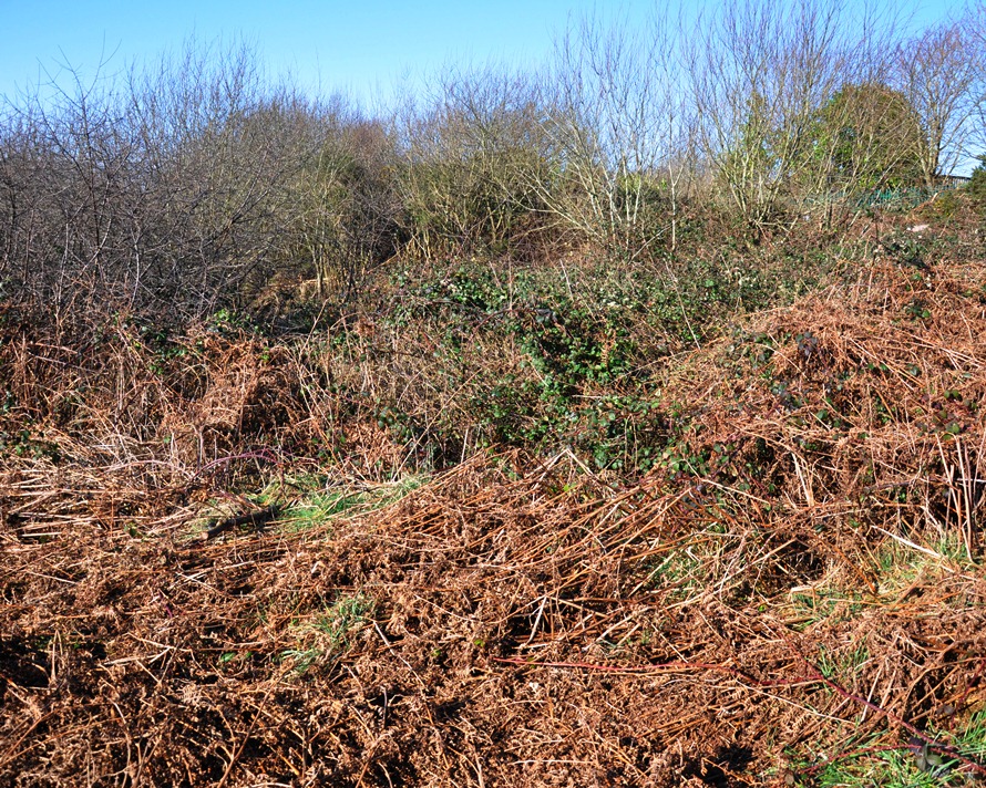
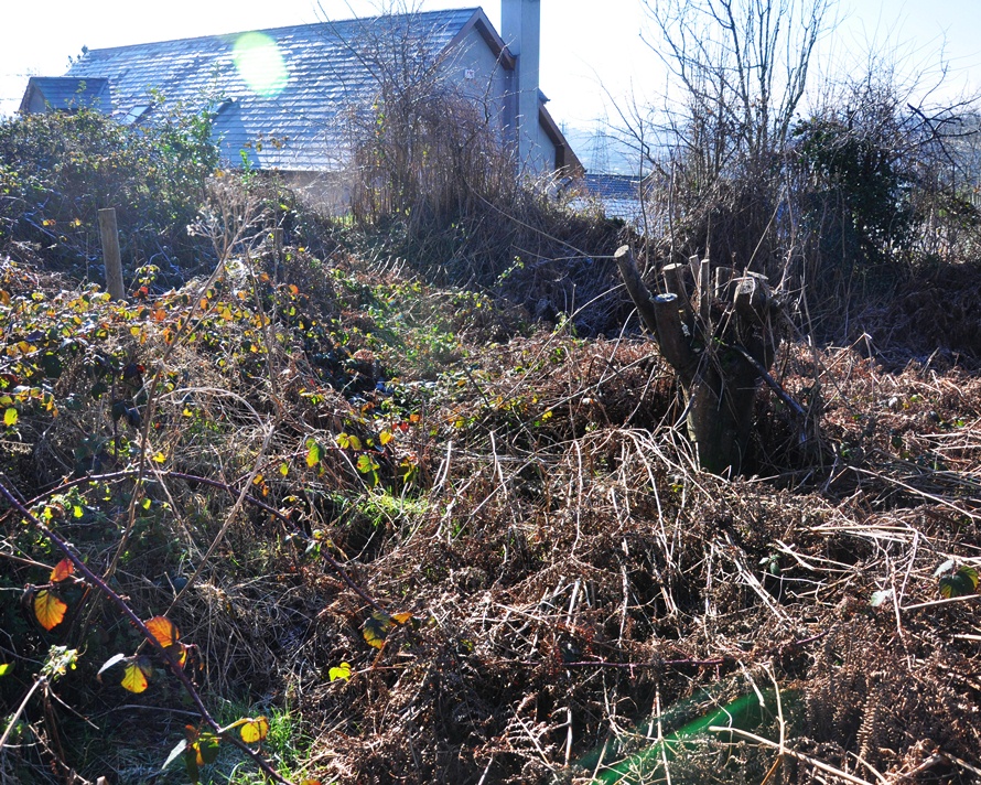
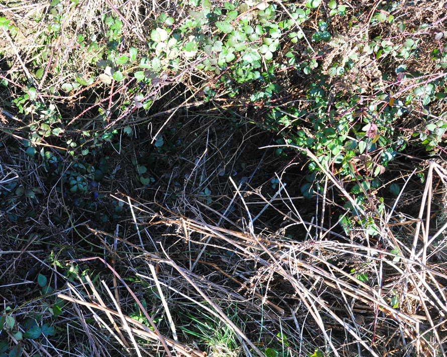
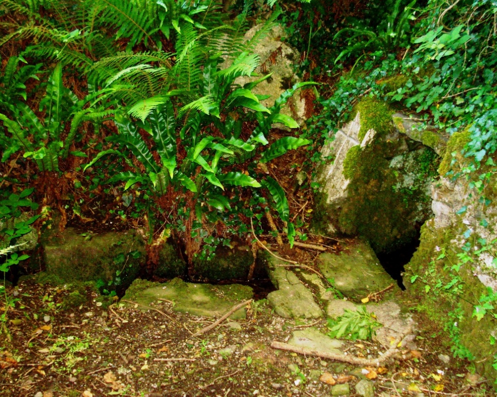
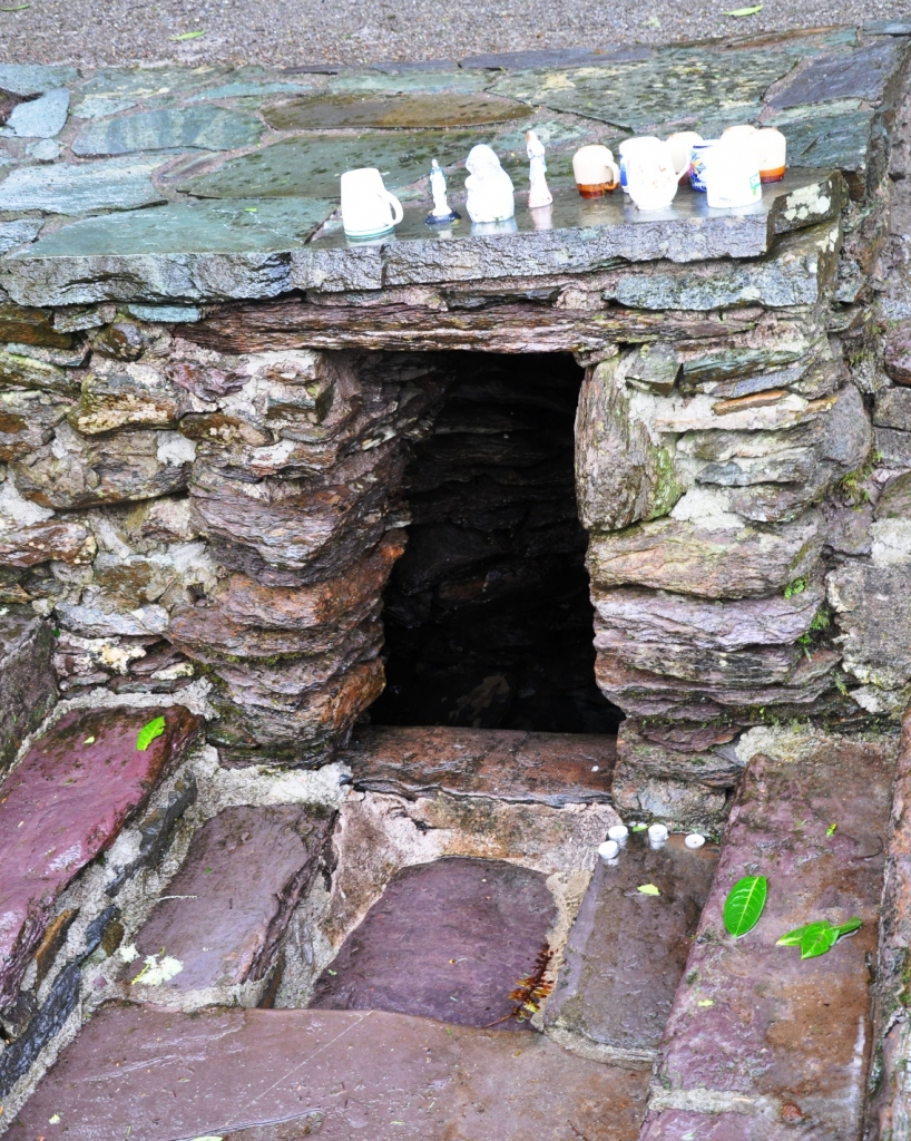
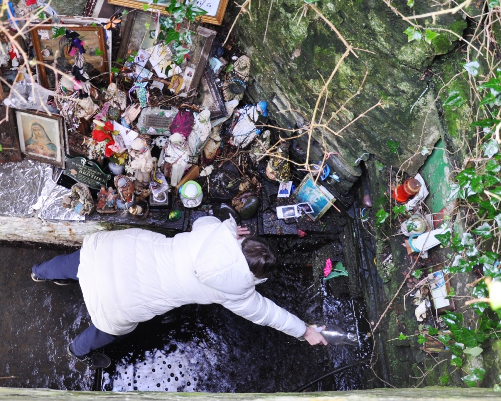
I visited the site on 26th Feb 2012 and again on 24th Feb 2013. When I intended to blog about the site recently, I returned to get more recent photos. On my initial visit I found the site to be untidy and generally a bit run down – in particular, drinks cans allover the site and in the well. This poor state was one of the main motivations for revisiting the site, as it didn’t want to misrepresent its current condition. However, the site was in an even poorer state on my second visit. Messiness and evidence of drinking was compounded by neglect and vandalism. The photos below which compare the site over the two visits clearly illustrate the change, especially in terms of the well itself, which is now inaccessible as the basin is completely filled in with bits of broken paving.
Although, the well is an acknowledged heritage feature and was renovated with community support, it seems to have slowly deteriorated. Its location on a secluded section of the hillside above the brewery but out of site of the houses above means its an ideal location for ‘anti-social’ behaviour, with evidence of drinking, vandalism and fire-lighting.
I am slightly conflicted over what the visits have revealed. Firstly, it is a shame that one of the few examples of a holy well in the city is in this condition; and, as a result, I have contacted one of my local councilors about the issue, who will raise it at the City Council. However, this also presents a study in the decline of a holy well. Many hundreds of the 3,000 holy wells that were believed to have existed across Ireland can no longer be found or have deteriorated beyond recognition. Although, intentional actions are involved here, the site is a metaphor for what has happened to so many sites. Wells which are no longer the focus of devotional activity can fall into disrepair and become unattractive, furthering their demise. It would seem the central reason for the survival of so many wells is the role of devoted people who frequent and upkeep them.
While the physical structures and role of Lady’s Well in the nomenclature of the city ensure the site will remain in the future, what exact form this will take is uncertain. I shall return to the site and the topic.
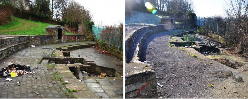
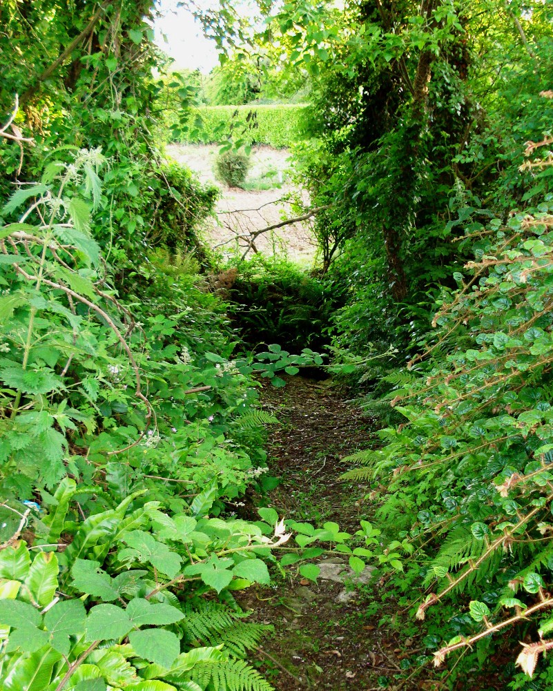
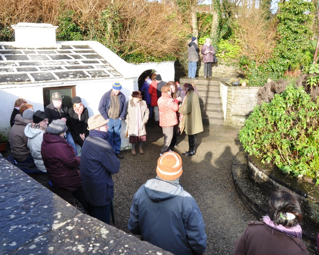
Two views, one from each visit, looking south at the site: it resembles a mini-amphitheatre, with a curved shape on one side and it is spread over three levels – a back support level with the ground behind it, a middle level with an empty grotto at the far end and the lower level which has the well at its centre.
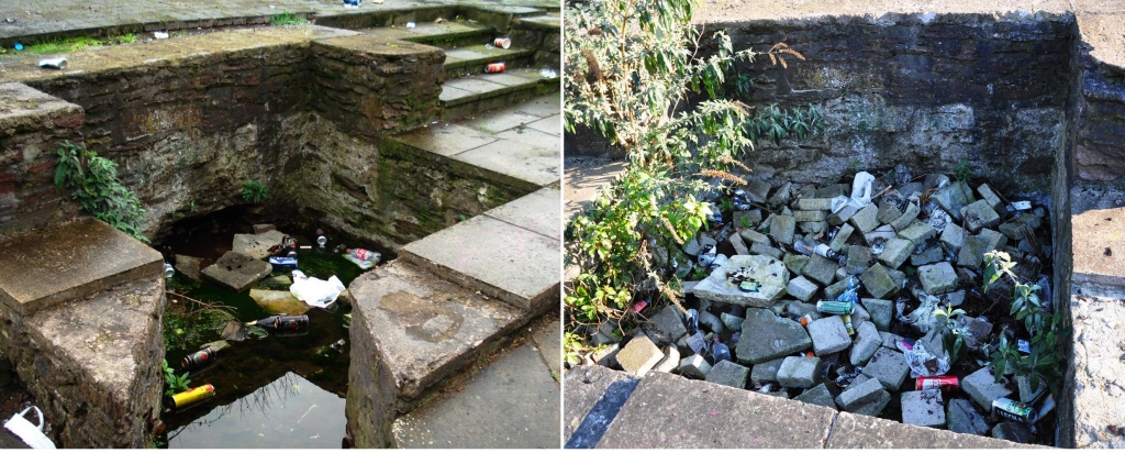
The well’s poor condition, marked by litter mainly, in Feb 2012 is replaced by one of complete disrepair in Feb 2013, presumably through intentional vandalism.
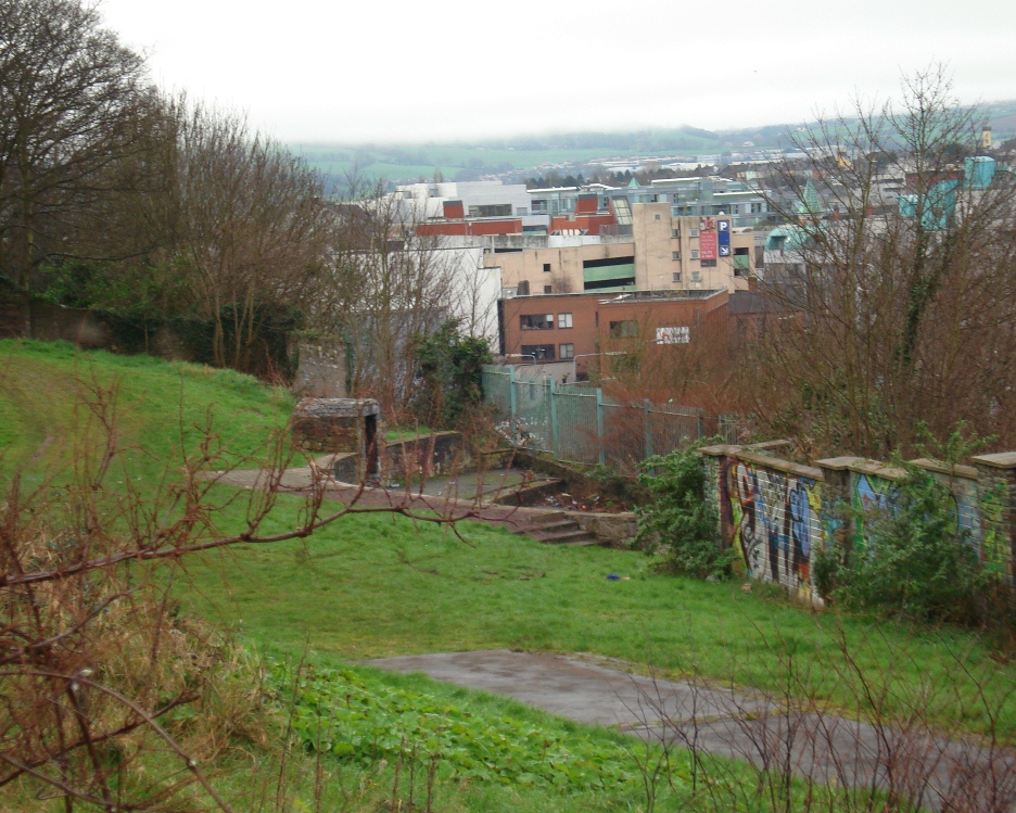
The view of the site in Feb 2012 from the laneway between Richmond Hill and Leitrim Street.
Location:
Reading/Sources:
Cork City Council, 2009 Coburg Street and Saint Patrick’s Hill Area Action Plan 2009
Lady’s Well Excavation Report, 2000
CO074-062 (Archaeological Survey of Ireland, Record Details) on http://www.archaeology.ie. Posted: 14 Jan 2009