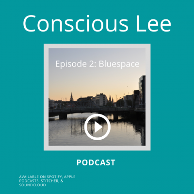
3.2 Conscious Lee: Bluespace
Listen here: SoundCloud, Spotify, ApplePodcasts.
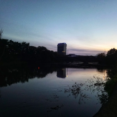
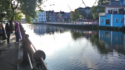
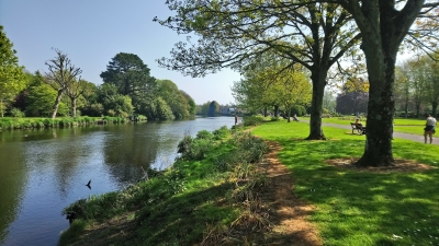
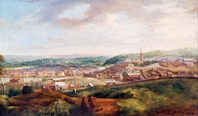
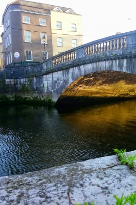
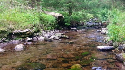
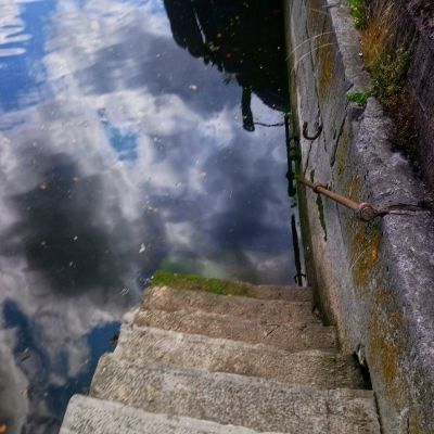
Conscious Lee is a podcast to help people value and protect their rivers. In the second episode, we explore the concept of ‘bluespace’ which describes the health improvements of spending time by water. Building on the first podcast, it shows us how respecting rivers has multiple benefits for people and wildlife. We have contributions from Dr Sarah Bell, lecturer in health geography in the University of Exeter, Denise Cahill Cork Healthy Cities Co-coordinator, and Laura Ní Fhearghail, see links below. It also uses Sustainable Development Goal 15, Life on land, to show the importance of rivers, waterways, wetlands, and lifestyle choices you can make to help address our climate and biodiversity crisis.
Conscious Lee is produced by students of Creativity and Change, a course in Munster Technical University’s Crawford College of Art & Design. Colette Mulholland, Ann Lambe, Flo Whitworth, and Richard Scrvien narrated, and the field recordings were made by artist Vicki Langan and Richard. It is released through Littoral Space, a podcast by Dr Richard Scriven. This work is shared under a Creative Commons Attribution-NonCommercial-ShareAlike 4.0 International Licence.
Conscious Lee webpage: creativityandchange.ie/conscious-lee
Conscious Lee Instagram: instagram.com/consciousleecork
Dr Sarah Bell: twitter.com/SarahBell85
Cork Healthy Cities: corkhealthycities.com
Laura Ní Fhearghail: www.instagram.com/lauranifhearghail/
Littoral Space webpage: liminalentwinings.com/littoral-space-podcast/
Twitter: twitter.com/LittoralSpace
Instagram: www.instagram.com/littoralspaces/